Open Cities Africa is a project that seeks to make selected cities in Africa resilient to natural disaster and the impacts of climate change. The project is being carried out in 11 cities in 10 sub-Saharan African countries to engage local government, civil society and the private sector to develop the information infrastructures necessary to meet 21st-century urban resilience challenges.
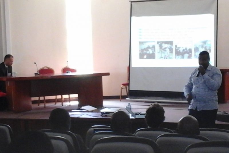
As such, the World Bank team organized a one-week workshop for all stakeholders of this project in Kampala, Uganda. The various participants arrived in Uganda on 10th June 2018, a day before the commencement of the training event. The training was held at the Makerere University in Kampala. There were about 50 participants coming from 10 countries all over Africa including Seychelles, Liberia, Cameroun, Madagascar etc. The team from Ghana was a mixture of persons coming from the government and the private sector (just like the teams coming from the other countries).
The Training
Day 1:
The first day of the training program was more of an introductory session. Representatives of the various countries gathered were given a brief history of the Open Data for Resilience Initiative (OpenDRI), Disaster Risk Management and an overview of the Open Cities Africa project. Each African city represented was given the opportunity to work on a presentation of the city they are representing. The team from Ghana also did a presentation on the city of Accra, what makes it special, the hazards facing it, the most affected people and what the team hopes to learn from the training.
Day 2:
On the second day, participants were taken through a training session in editing in OpenStreetMap. We were introduced to two editors: ID and JOSM. OpenStreetMap ID editor is an internet-based editor that users can use to map areas remotely. JOSM which stands for Java OpenStreetMap is basically a desktop (offline) editor for OSM. It was a captivating experience for all as those of us who were new to the two software tried our hands at them while receiving assistance from the facilitators and the more experienced ones amongst us. The second part of the second day’s session was characterized by a presentation from each city on ideal data situation in their country, the current situation in the country etc.

Fig.1 Mapping with JOSM
Day 3:
On the third day, participants were introduced to mobile data collection tools (Open Map Kit and Open Data Kit). Participants were taken through data collection workflow, Field papers etc. Participants were also introduced to the Mapillary app: a collaborative street-level imagery platform for extracting map data at scale using computer vision. At the end of the session, participants were sent out to different portions of the Makerere University campus to map using any of the software they had been taught that morning.

Fig.2 (The Ghana Team mapping)
Day 4:
On the fourth day, participants were taken through sessions on:
- How to incorporate gender into project design
- Data cleaning and upload
- How to incorporate M & E into project design
Again there was a brainstorming session for teams from the various cities in Africa to come up with points on how disasters affect men and women differently, how the project will affect women and men differently etc.
Day 5:
On the last day, participants were taken through a single session on drone mapping and open aerial map. The drone session was also quite an interesting session since the facilitator demonstrated with a drone how images are captured using drones. He also pointed out in pictures how drone imagery is way better than satellite images, hence suitable for detailed mapping projects. However, he mentioned that satellite images are better suited for projects that cover a large area. There was again another brainstorming session for all the 10 cities represented at the training. This time, the various teams were asked to come up with a list of stakeholders (government, private, NGOs, CSOs etc.) whose help would be integral in making the project a success. Secondly, the teams were expected to group these stakeholders according to their how they are classified and the help they can offer to make the project successful.
It was a very enlightening experience learning from experts in the field of mapping – specifically OpenStreetMaps. Also socializing with other participants from different parts of the continent was also very interesting. Many of the participants are working on different projects related to disaster risk management and OpenStreetMaps.

